
Add NewsWork in ![]()
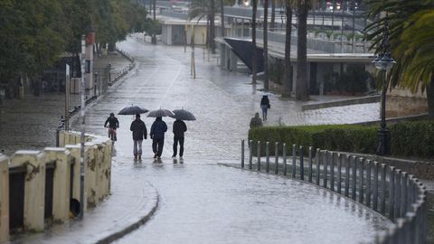
The State Meteorological Agency (AEMET) has activated a series of yellow warnings for this Wednesday, April 8, 2026 in much of the national territory due to the advance of an isolated cold storm.
The phenomenon, which is located in front of Cape San Vicente, is leaving especially intense rainfall in a vertical strip that crosses the peninsula from the south to Galicia. The most affected areas in the next few hours will be the provinces of Málaga, Córdoba and Seville, where accumulations of up to 15 mm in one hour and 40 mm in 12 hours are expected.
Samuel Biener, Meteored meteorologist, warns about the most complicated moment: “Rains of 80 l/m² are expected this afternoon in Catalonia”
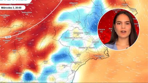
Andrea Danta, meteorologist, warns of an imminent collapse in temperatures in less than 24 hours: “They will go from touching 40ºC to a drop of 10ºC”
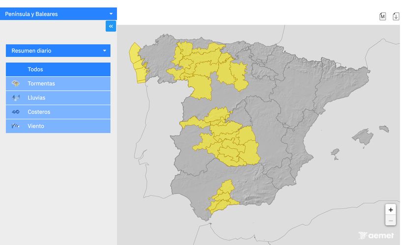
This situation of instability not only brings water. According to Meteored, “precipitation will be accompanied by mud due to the presence of suspended dust” in the atmosphere. In addition to the south, the Central System of Ávila and the north of Cáceres remain under surveillance due to persistent rains that could complicate mobility in mountain areas.
Thunderstorms and wind gusts of 80 km/h
As of this noon, the risk also moves towards the northwest quadrant and the interior of the peninsula. The AEMET has issued warnings for storms that “may be accompanied by very strong gusts of wind” in provinces such as León, Zamora, Burgos and Palencia. In these areas, as well as in Galicia and Asturias, electrical activity will be notable during the afternoon, which requires extreme precautions against possible lightning strikes and sudden showers.
The wind will be another determining factor. In Castilla-La Mancha, specifically in Toledo and Ciudad Real, gusts of up to 70 km/h with a southwest component are expected. This combination of strong wind and storms increases the risk of incidents in urban areas and the forestry sector.
Maritime storm in the Atlantic
The Galician coast and the coast of Pontevedra face a complicated scenario with yellow level warnings due to coastal phenomena. A mixed westerly or northwesterly sea is forecast with waves reaching 4 to 5 meters in height.
“It is essential to stay away from breakwaters and exposed shorelines” during the duration of the advisory, which will last until at least noon.
Forecast for the next few days: the arrival of a DANA
After a temporary lull expected between Thursday and Friday, weather models are already anticipating a new sharp turn for the weekend. The remains of the current storm will transform into an Isolated High Level Depression (DANA) that will cross the Strait.
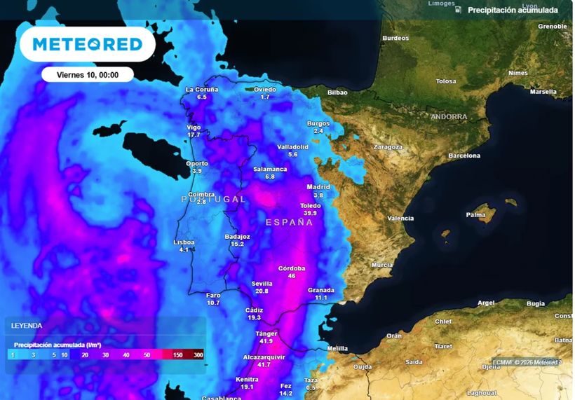
This system will interact with a descending trough from the north, which will cause a general drop in temperatures and widespread rain in almost all of Spain starting on Saturday.