The State Meteorological Agency (AEMET) maintains the orange level warnings activated for this Tuesday, April 14 in the northeast of the peninsula and the Balearic archipelago. The storm with a northern component continues to strongly hit the Ampurdán in Girona and the island of Menorca, where wind gusts of up to 90 km/h and a critical sea state are recorded with waves that reach 5 meters in height.
According to the latest official data, these “significant danger” conditions will gradually begin to subside towards the end of the day, although the yellow warning for waves will persist in both areas until well into the night.
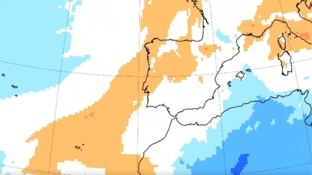
Galicia, the Cantabrian slope and the Balearic Islands: the most affected by the rains
While the Mediterranean suffers the last blows of instability, the rest of Spain begins a transition towards a much more peaceful scenario. The displacement of low pressures allows the entry of an anticyclonic ridge that will make it difficult for precipitation to be widespread in the coming days.
However, the passage of two weakened Atlantic fronts will leave irregular rains and showers in Galicia, the Cantabrian slope and the Balearic Islands before dissipating completely after crossing the Peninsula.
Starting Wednesday the thermometers rise
Starting on Wednesday, April 15, the strengthening of the ridge will prevent the arrival of new storms, which will result in a rise in thermometers in most of the country. “This situation will be accompanied by a progressive increase in temperatures” which, although it will not be as abrupt as in previous episodes, will place the values above what is usual for these dates during the second half of the week, as noted by Meteored.
The sun will gain prominence and the environment will stabilize in 95% of the territory, allowing spring to regain its pulse after the winter blow of recent days. In the Canary Islands, the situation is also tending towards normality, although the trade wind will continue to blow with some strong intervals on the most exposed slopes.
Uncertainty and storms starting Thursday
Despite the dominance of the anticyclone, Meteored experts warn that the ridge is not an immovable structure. Starting on Thursday the 16th, the increase in solar radiation and the prominence of sea breezes could generate convection currents in the interior of the peninsula. “It cannot be ruled out that evolution clouds and some convective showers may appear” that could lead to occasional storms in the mountain areas of the northern half.
This phenomenon, typical of spring, introduces a factor of uncertainty for next weekend. Although dry weather will be the general rule, those who have outdoor plans in environments such as the Pyrenees, the Central System or the Cantabrian Mountains should be attentive to the formation of these storm clouds that usually discharge quickly and locally during the central hours of the day.